File:Figure M-1D.jpg
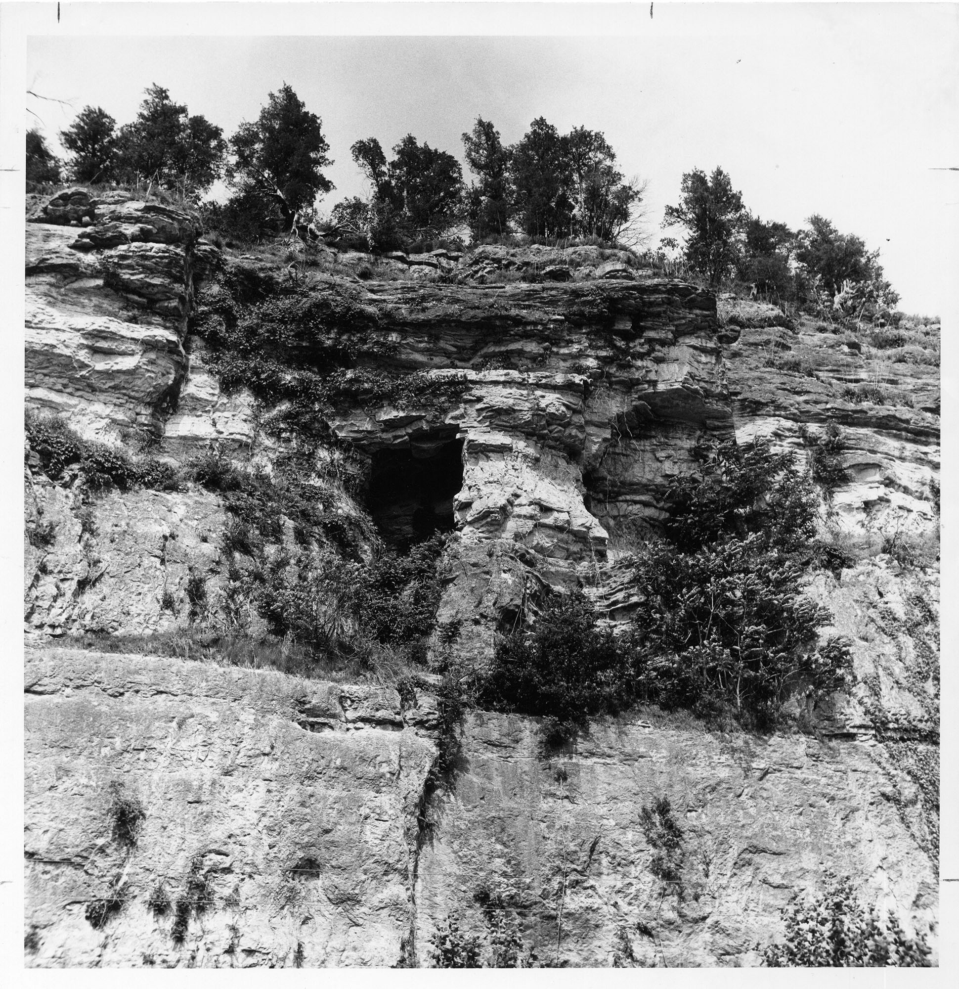
Revision as of 18:52, 4 April 2016 by Alan.Myers (talk | contribs) (Fig. M-1D -- Well bedded St. Louis Limestone with cave in its base overlying massive Salem Limestone in Mississippi River bluff a mile northwest of Prairie du Rocher, Randolph County.)
Size of this preview: 582 × 600 pixels. Other resolution: 1,940 × 2,000 pixels.
Original file (1,940 × 2,000 pixels, file size: 1.02 MB, MIME type: image/jpeg)
Fig. M-1D -- Well bedded St. Louis Limestone with cave in its base overlying massive Salem Limestone in Mississippi River bluff a mile northwest of Prairie du Rocher, Randolph County.
File history
Click on a date/time to view the file as it appeared at that time.
| Date/Time | Thumbnail | Dimensions | User | Comment | |
|---|---|---|---|---|---|
| current | ★ Approved revision 18:52, 4 April 2016 | | 1,940 × 2,000 (1.02 MB) | Alan.Myers (talk | contribs) | Fig. M-1D -- Well bedded St. Louis Limestone with cave in its base overlying massive Salem Limestone in Mississippi River bluff a mile northwest of Prairie du Rocher, Randolph County. |
You cannot overwrite this file.
File usage
The following 6 pages use this file: